+254 712 878 150/ +254 736 400 366
info@geoshappersurveys.co.ke

Information Systems management
Development and management of information systems I.e. LIS/GIS databases. Data quality control and checks ...
Cadastral (Title)-surveys
Registration for titles, leases easements etc Subdivisions, amalgamation/combinations Extension of leases, change of user...

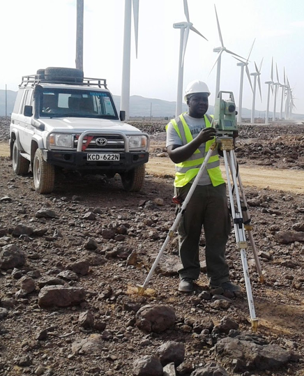
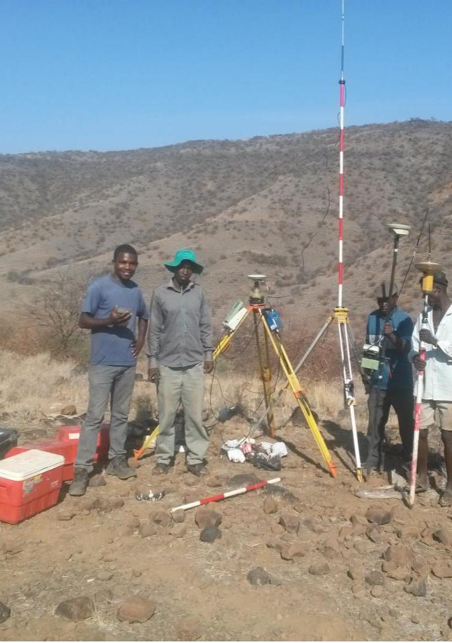
Geodetic Surveys.
Establishment and monumentation of 3rd, 2nd and 1st order survey controls. Geodetic ...

Engineering Surveys
Power line route surveys, pegging and setting out. Surveys for water supply and sanitation (sewerage systems). Roads and bridge surveys...

Topographic surveys & Utilities
Measuring and locating the size, shape, elevation and terrain of a parcel of land as well as the location of the ...
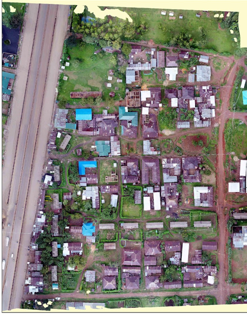
Mapping
Aerial surveys, Ground controls, Aerial mosaic preparations Small scale contoured maps ...