INTRODUCTION
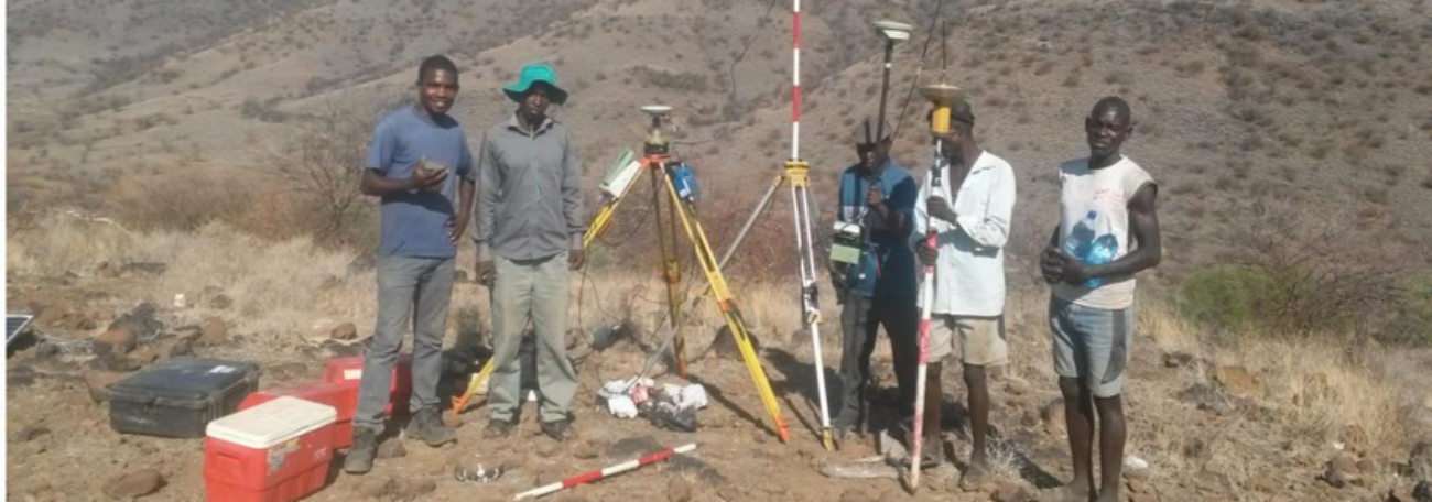
Geoshapper Engineering Surveys company limited is one of the leading surveying and GIS Implementation Company in Kenya and the region. We provide a unique blend of local and regional experience in Engineering surveys and Land information services using our experienced specialists to the corporate world, government agencies, private businesses and NGOs for sustainable development and management of resources in an economical way to our clients.
The main geo-information technologies promoted by Geoshapper Engineering Surveys company limited include Topographical Mapping (TM), Land and Engineering surveys, Land use planning, Urban and Regional planning, Geographic Information Systems (GIS), Aerial Mapping, Remote Sensing (RS), Geodetic GPS control surveys. We are also vigorously involved in training of professionals and decision makers on the use of geo-information. Our company is led by team of professional experts of several years of experience and also associated with a pool of other professionals from different backgrounds which blend our in-house experts.
Our company has invested heavily in appropriate technology for efficient delivery of services to its clients. We utilize of the art equipment at the field and office thus ensuring that projects of any kind can be completed on time and within budget. Our tools allow us to operate in one- and two-man modes for greater efficiency in data collection. In addition, we utilize the newest survey software to help ensure accurate and efficient data collection. Further the company has invested in modern hardware, software and ancillary equipment to produce land plans, digital maps, GIS resources, and other geo-information outputs accurately and cost effectively.
